
County Trail Maps
County Trail Maps
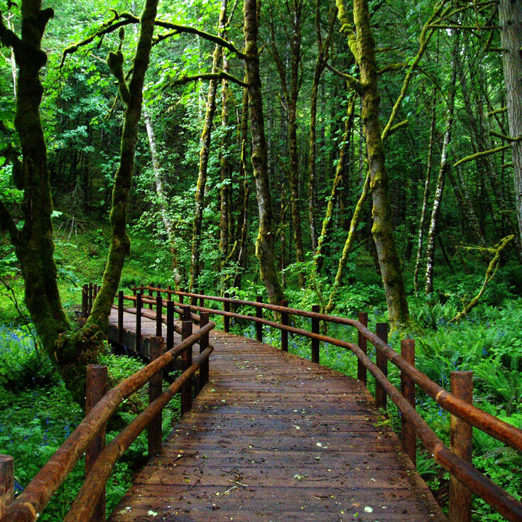
Benton County Parks works with private landowners, Corvallis Parks and Recreation, the City of Philomath, Siuslaw National Forest, OSU Research Forests, the Greenbelt Land Trust and others to offer a trail system that provides health and recreation benefits for the citizenry.
Report a trail hazard
As a trail user, consider helping us maintain our trail system by reporting hazards or other trail issues.
Find a County trail
The best place to find County trails is on The Right Trail. Get information like location, elevation change and more.
Trail Maps
We now offer the following Trail Maps; printable in 8 1/2″ X 11″ (except Bald Hill/Fitton):
- Beazell Memorial Forest
- Fitton Green Natural Area
- Ft. Hoskins Historic Park
- Bald Hill Park & Farm/Fitton Green/Crestmont Land Trust Park Complex Map
Trail Programs & Partnerships
The Mulkey Trail System (Mulkey Trail System Map) is a good example of how partnerships can create an excellent trail program. The Benton County Fairgrounds provides access to the paved multi-use path that crosses a donated private easement and connects to Bald Hill City Park. There are over 8 miles of trails located in the Bald Hill Trail System. Benton County Natural Areas and Parks will continue its efforts to form partnerships to enlarge the County’s trail program, as long as citizens continue to express their support for trails.
We are working on connecting Jackson-Frazier trails with other trails in the area.
In Beazell Memorial Forest, we are proposing several new trails.
Also, for a county-wide view, see the trails plan map (NOTE: Some of the maps in Appendix B are not up to date: Maps of Benton County Natural Area & Parks with Trails, click below).